Heading out to a new location? Ever lost your way? Navigation apps to the rescue. The navigation apps help us find our way, share our location, get access to traffic details and more, but there are many options that are tailored to specific needs There are a great many navigation apps available on the Play Store, but after taking a good look, we are to propose what we deem to be the best navigation apps for Android.
1. Google Maps

It is an obvious choice. Without a doubt, it is the best overall navigation app for Android. Recently, Google has added the ability to download offline areas (which was there in a less official form before), which is useful if you are heading to an area with poor connectivity. Google Maps should also be preferred when traveling to the countryside. Google updates the information regularly and provides extensive details.
Pros
- Detailed & Vast Information
- Suitable for any location worldwide
- Cycle routes present
Cons
- Offline maps expire within 15-days
- No Real-time Community reports
2. Waze

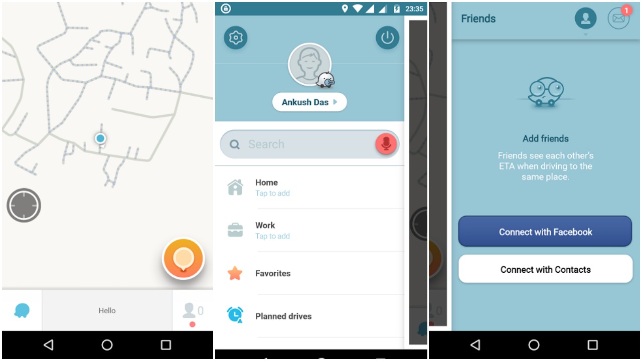
Waze maps is a community-driven application which focuses on providing real-time traffic information. As a “Wazer” (community member) you can report accidents, traffic jams, and similar incidents on the way. Friends can see each other’s E.T.A when driving to the same place as well. Apart from this, it also delivers a unique user experience. Waze may seem to take a more complicated route sometimes, but it knows how to avoid the traffic.
Pros
- Shorter drive
- Better real-time traffic information
- Add friends to keep up with the time while traveling to the same place
Cons
- No offline maps
- Lack of details (varies with location)
3. Here WeGo

It one of the simplest navigation apps for Android. Recently, Here Maps rebranded to – “Here We Go”. It has been tailored for offline use. In addition, it lets you download the map of an entire country. Unlike Google Maps, it does not offer an expiration period for the offline maps. It also provides a quick-action button to search for Nearby places. It offers information on routes for the users who like to travel through their bikes. The new update also gives you additional information like taxi fares and ticket prices (limited to locations). It is one the best alternatives to Google Maps.
Pros
- Best for offline use
Cons
- User Interface could look better
4. Sygic

When starting upon, it asks you to choose the installation path (SD Card or Internal Storage). In order to get started, you will have to download an entire country. Unless you download the map for offline use, you would not be able to use Sygic. This one utilizes TomTom’s 3D navigation maps, giving a better user experience. It also offers the ability to project navigation on the car’s windshield at night.
Pros
- Fast
- Resource-friendly
Cons
- Project navigation works on specific countries
- Will not work unless you download the required map data
5. MAPS.ME

An impressive navigation app providing detailed information. It offers an interesting ability to edit the map directly from MAPS.ME. You can import/export bookmarks (marked locations) as well. Recently, it has added support for a travel plan to Rio 2016 Olympics which includes – Olympic venues / stadiums, information about the press, and other must-sees. The user interface is pretty basic and it works smooth even on a low-end device with a slower Internet connection.
Pros
- Smooth & Fast
Cons
- Lack of information (Worldwide)
6. MapFactor

MapFactor is a popular navigation app that comes with an outdated user interface. It is useful when you are in need of turn-by-turn navigation. It also gives you an option (through in-app purchase) to utilize TomTom navigation maps.
Pros
- Fast & Light
Cons
- Outdated User Interface
7. Polaris navigation

Polaris navigation utilizes Google Maps, OpenStreetMap, Cycle Route Maps and MapQuest Maps to deliver an all-in-one experience. It offers an option to record trail. This helps you keep track of the path you have traveled.
It provides important details which include – magnetic heading, true heading, altitude, latitude, and longitude. It also comes with a compass which can be used for the directions. Although, it contains in-app advertisements. You can upgrade to its pro version – GPS Waypoints navigator (at 10 USD), which offers more features without in-app advertisements.
Pros
- Geeky details
- Fast & Light
Cons
- UI could be better
- Pricey pro version
8. Maps & Navigation — OsmAnd

OsmAnd is a free navigation app that relies on OpenStreetMap (OSM) data. It works offline as well. It offers day and night view switching. Interestingly, you would also get access to some footpaths route data. It lets you directly contribute / report to OSM.
Pros
- Footpath data
- Trip recording
Cons
- Lack of information (worldwide)
These are some of the best navigation apps for Android that we would want you to look out for. Did we miss one of your favorite navigation apps? Can any of the above replace Google Maps in the near future? Let us know about your thoughts on the comment section below.